
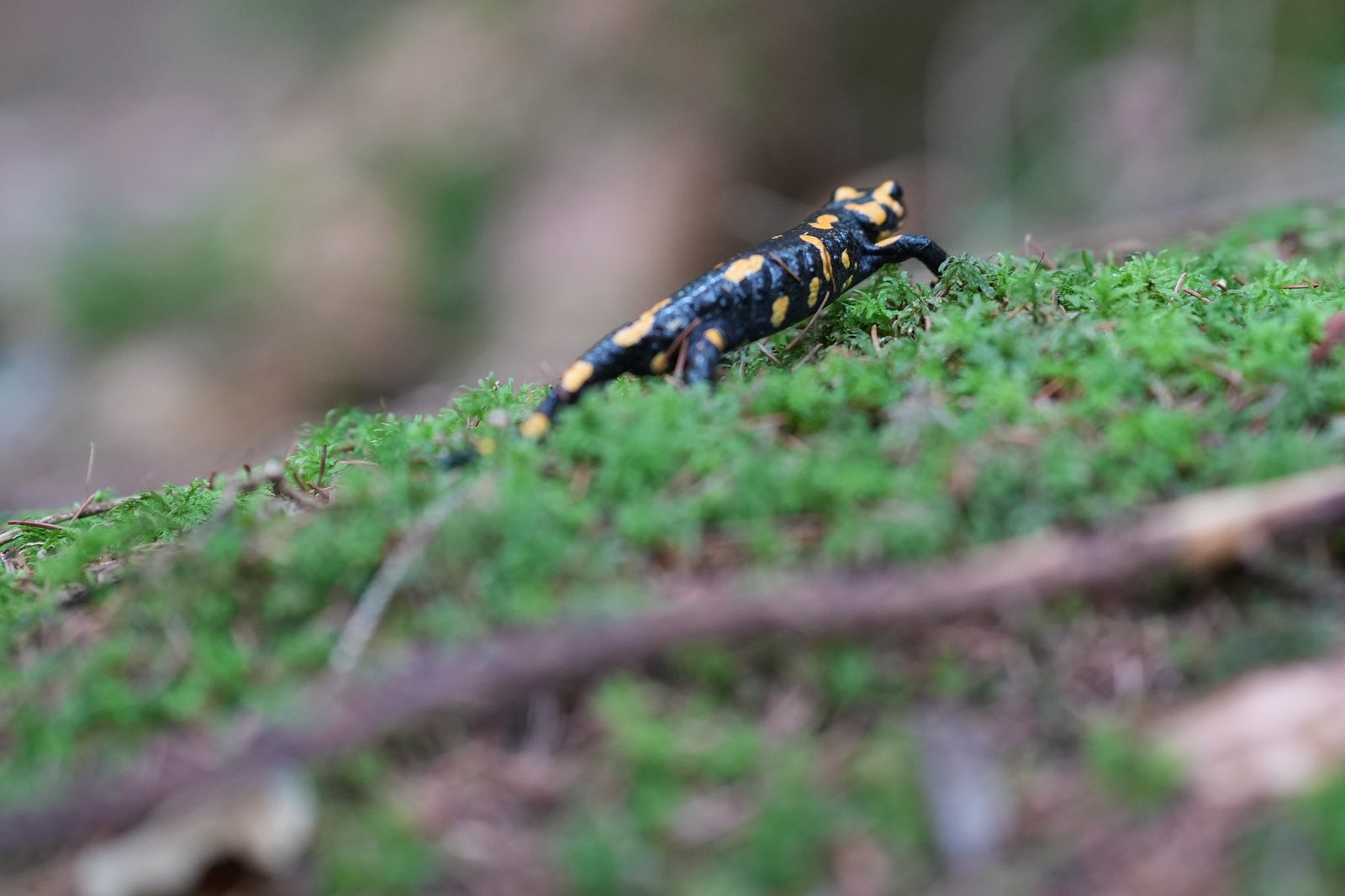
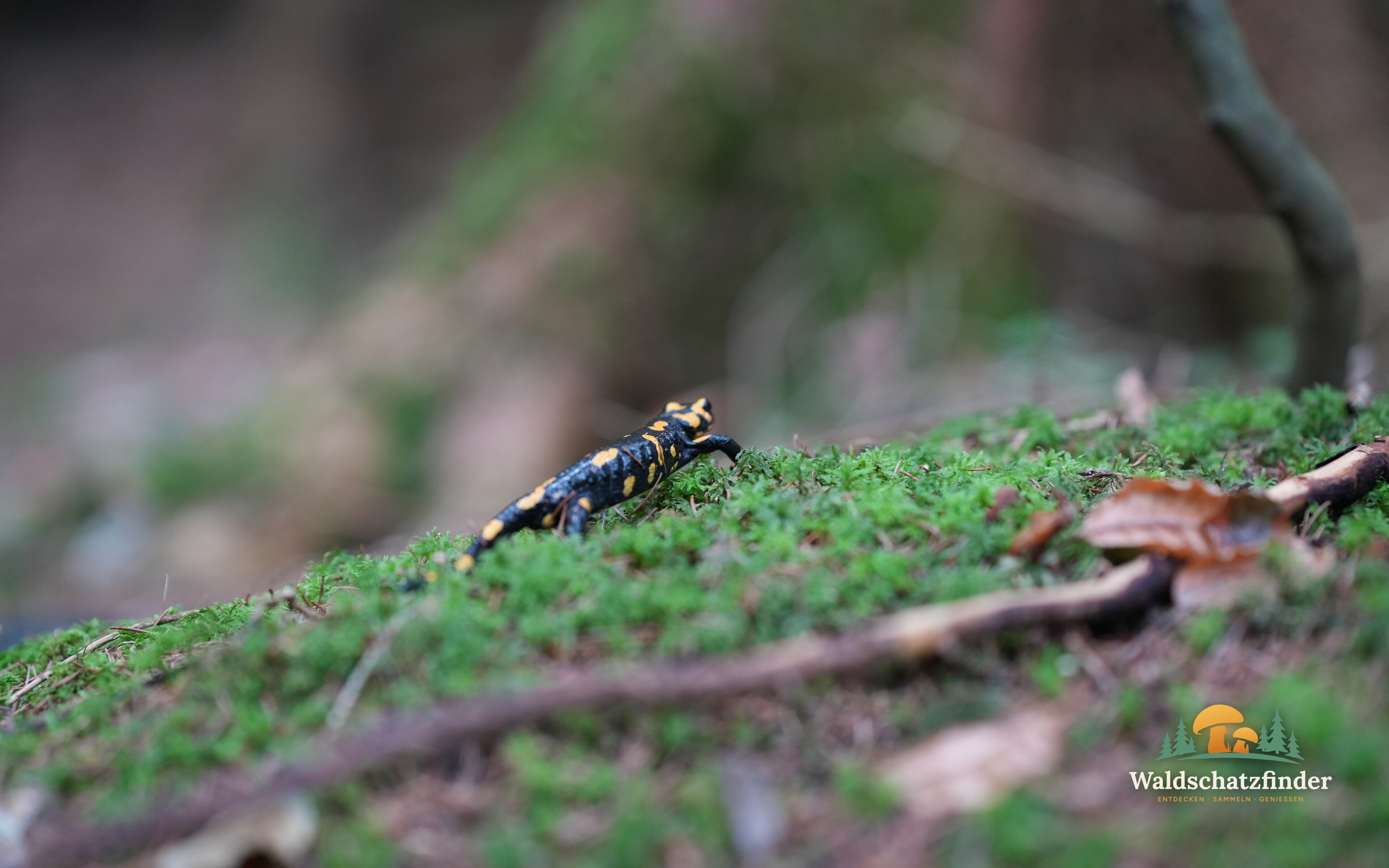
 New every week: wallpaper for desktop & phone
Free download ↓
Mushroom weather: when and where do mushrooms grow in your forest?
The mushroom forecast that knows weather, soil and trees: calculated for your spot anywhere in Europe, for over 30 mushroom species – free and in seconds.
Free, no sign-up needed
As a guest, try 3 free analyses per hour right away. For unlimited searches, a free account is all you need.
How about …
- Autumn leaves walkTo the forest with the strongest autumn colours near you – beech, larch or birch.
- Viewpoint walkA loop to two viewpoints near you.
- Quiet walkAway from roads and noise – paths and forest tracks from a hiking car park.
- Mushroom roundThrough forest with the right trees for your mushrooms. 🔒 free with an account
- Photo tourA forest for the season and a viewpoint, starting at blue hour.
- Forest bingo with kidsA card with what can be found in the forest right now – on your phone or printed.
↓ more ideas
✨ With a free account we find ideas for your area and the things you love doing – give it a try. Register for free →
It's Late autumn.
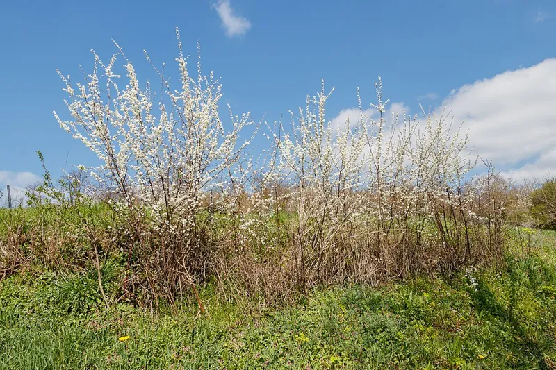
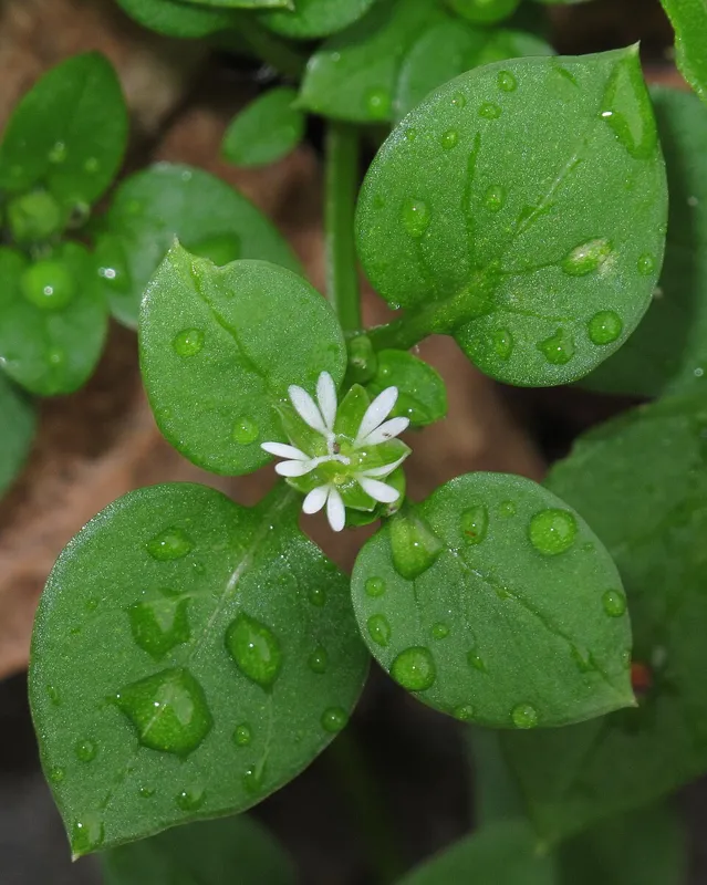
What is growing right now: Wood BlewitOyster MushroomJudas’ EarKing Trumpet MushroomParasol MushroomCommon chickweedBlackthorn (sloe)
Your location is only used for this view and is not stored.

In short
- Find mushrooms: Waldschatzfinder shows you when mushrooms grow at any place in Europe – for more than 30 species, from porcini to chanterelles.
- Forage with a plan: the species map, hotspot map, mushroom calendar and mushroom alert help you plan your trip, while the beginner traffic light and the mushroom AI give guidance. Only what you know for sure goes in the basket.
- Free: basic forecast without signing up, Pro forecast and species map with a free account – no subscription, no ads.
- Made by people: more than 45 years of mushroom experience, run by a small team of real foragers – with a legal notice and contact persons.
- Route planner with nature know-how: the Waldschatz planner turns a mushroom forecast and herb knowledge into a ready-made mushroom route, mushroom hike or wild-herb hike – with elevation profile and GPX export.
- For the whole family too: a mountain tour, a hiking route, a loop trail or a family outing with kids – the planner adjusts the route to the group's pace and interests.
Hiking planner · Tour planner · Route planner
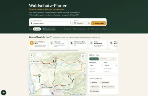
A hiking planner that understands nature: plan tours that see more than the path
The Waldschatz planner is a free tour planner and route planner for hiking: enter a place, date and time, pick an idea such as a mushroom walk, summit tour or family hike – and get a ready-made hiking route on real trails that knows the forest, the weather and the nature along the way.
- Real trails, not straight linesLoop or out-and-back, with elevation profile, walking time, difficulty and GPX export – the route planner works on marked trails and forest paths.
- Nature on both sides of the pathMushrooms, wild herbs, berries and tree species along the way, plus viewpoints, summits, huts, springs and nature reserves – your tour leads to where there is something to discover.
- Weather, light and the best start timeRain along the way, dusk and turnaround time, the driest start time – and in winter, tours above the fog.
- Navigation on your phoneTurn-by-turn hints on the way, offline maps, the way back by GPS and live location for your companions.
- For every kind of tourFamily walks with kids, mountain tours, mushroom and herb walks, hikes without a car from a station or stop.
- Save, share, goSave plans for free, share them as a link or PDF and show them in the network if you like – no subscription, no ads.
More: Hiking map · Plan a hiking route · Mountain tours · Family hikes · Above the fog

The idea toolkit
No more five apps: we put your whole tour together
Often you sit in front of a hiking map with no idea where to go. And when you do have one, the research starts. With Waldschatzfinder you start with an idea – and we have already done the rest.
Under the hood: This works because Waldschatzfinder runs its own nature and weather engine. For every place it combines weather, terrain, forest and tree species, soil, protected areas and the path network – and turns that into your tour. On our own servers, not stitched together from other apps. That is also why new ideas keep showing up here – we build them ourselves instead of waiting on other people’s uploads.
How people usually plan a day out
- Open a hiking app and look for a route
- Search Google Maps for cafés and huts on the way
- Look up opening hours one by one – is it even open on Sunday?
- Check weather, sun and snow in a weather app
- Find a webcam to see whether it is really true
- Find a car park, type the address into the sat nav
How it works at Waldschatzfinder
Tap one of 25 ideas. Done.
Sledding hill trip, autumn leaves, above the fog, kids’ hut round, mushroom walk, full moon walk, Christmas market round and more: every idea is ready to go and adapts to your place, your day and your start time.
The result is a real route on hiking trails – with everything you would otherwise gather from five apps. And you can change it: drag points, add wishes, pick another variant.
If you have not been hiking in the mountains for long, that is worth a lot: the usual beginner mistakes – setting off without checking whether the path is slippery after rain, finding the hut at the end closed, or being caught out by darkness falling earlier than expected – show up at your kitchen table, not on the mountain. It still cannot replace your own judgement of the route, the weather and your own ability; that stays with you.
What we check for you automatically
- Weather on the routerain along the way, driest start time, wind at the top
- Snow, measuredsnow depth from weather stations instead of guesses – for sledding and winter walks
- Light and darknessturnaround time, golden hour, fog in the valley, full moon
- Places that are opencafés, inns and huts with known opening hours for exactly your arrival, rest days included
- Car park and getting therestart at the right car park or at a station or stop, with navigation to get there
- Webcams and viewslive images nearby, viewpoints and summits on the way
- Places to stayhuts, guest houses and hotels along the tour
- Nature along the waymushrooms, herbs and berries in season, tree species, autumn colours – and protected areas where you take nothing home
- On the wayturn-by-turn hints, offline map, the way back by GPS, GPX and a course for your watch
A winter example: the sledding hill trip finds the nearest run where measurements show real snow, starts at the car park right at the run and suggests a café for afterwards that is actually open then. If there is not enough snow anywhere, we tell you honestly – before you set off.
🍂 End-of-season special · week 46 · Nov 9–15
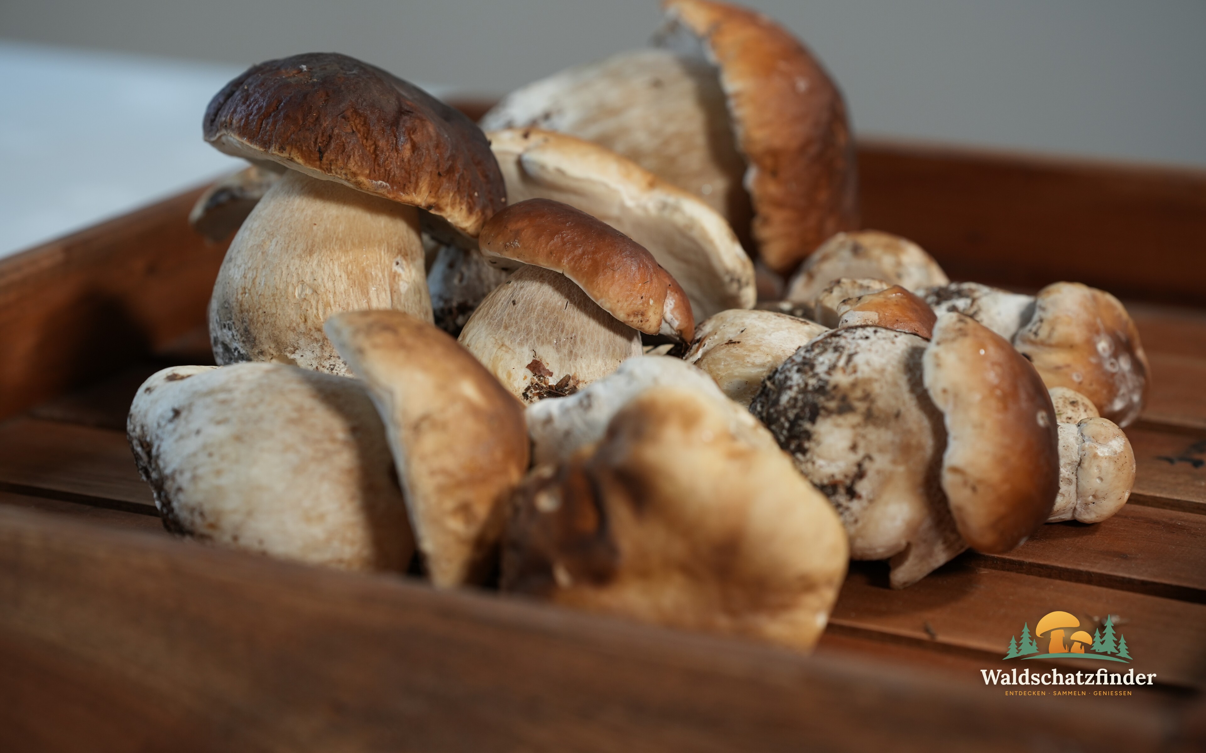
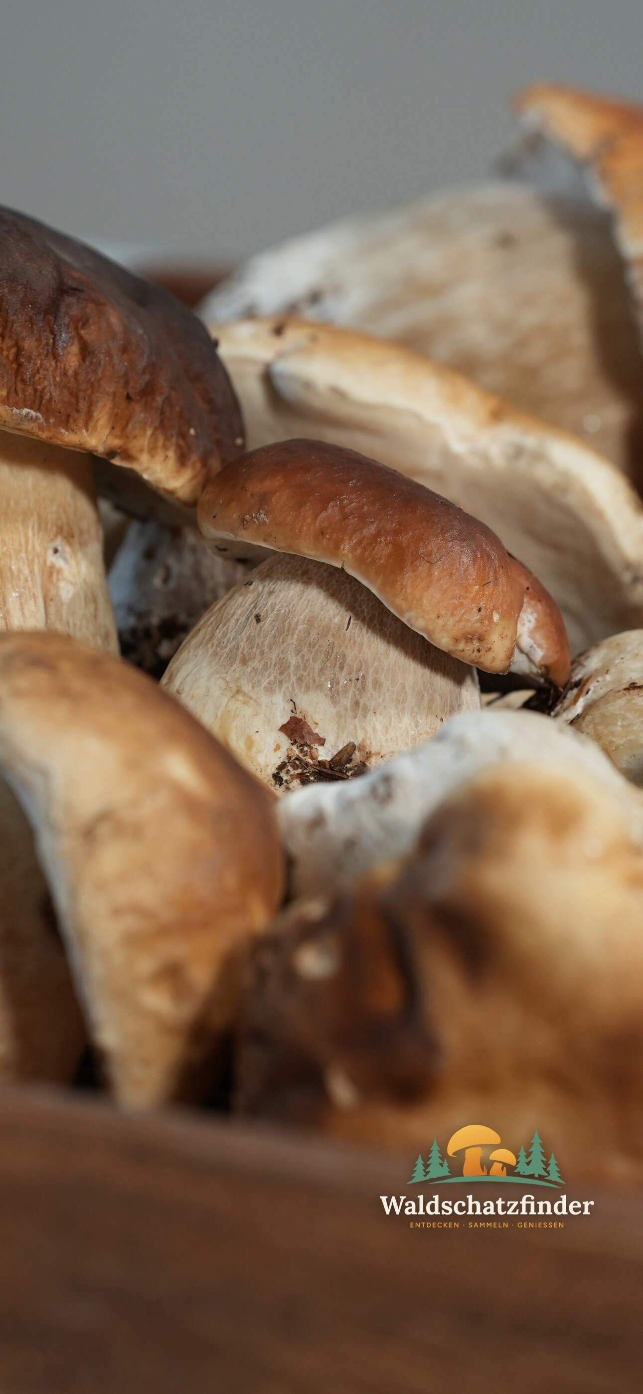
Steinpilze im Korb
New every week: a wallpaper for your desktop or phone – mushrooms, nature and wild herbs, from this season or brand new. Free to download. We keep you supplied with nature content all winter long – something to look forward to before the next rounds.
Eine schöne Ausbeute für die Pfanne: frisch geerntete Steinpilze, bereit zum Putzen.
📷 Axel Jerabek
🎄 End-of-season special · Advent calendar
24 doors from the forest
Every day from 1 to 24 December: winter mushrooms, tours, Christmas market rounds, recipes and stories from the forest.
22 days until the first doorSign up free & join in →
The advent calendar is for everyone with a free account. Learn more
Three steps to your mushroom harvest
-
Enter a place
A city, a village or your GPS position: Waldschatzfinder finds the nearest weather station for your mushroom forecast.
-
Read the forecast
See the growth chance for the next 10 days – with an account also with soil, forest and tree species.
-
Go out and share
Look for mushrooms, report finds on the hotspot map and publish your find report in your blog.
Start with the free basic forecast – and only collect what you know for sure.
Popular mushroom species in profile
- Chanterelle
- Porcini Mushroom
- Bay Bolete
- Parasol Mushroom
- Rough-stemmed Bolete
- Field Mushroom
- Hedgehog Mushroom
- Red-cracking Bolete
- Oyster Mushroom
- Slippery Jack
- Saffron Milkcap
- Shaggy Ink Cap
- All mushroom species →
Click your favourite species for its profile - with an account you'll also see today's actual chance there.
| What you see | Basicno sign-up | Profree with an account |
|---|---|---|
| Mushroom weather for your placeWhether the weather of the past weeks is letting mushrooms grow | included | included |
| Trend and the next daysHow the chances developed and what comes next | included | included |
| A chance for every speciesMore than 30 species – porcini, chanterelle, bay bolete, cauliflower fungus and many more | not included | included |
| Today, tomorrow, 7 days and best dayFor your species at a glance – so you pick the right day | not included | included |
| Your forest profileForest nearby, broadleaf or conifer, tree species and elevation at your place | not included | included |
| Soil right nowWhether the soil is wetter or drier than usual, plus the soil temperature | not included | included |
| Indicator plantsPlants that tell you your species can grow here | not included | included |
| Species mapWhere conditions for your favourite mushroom are right just now – ideal for new spots | not included | included |
| Mushroom alertWe let you know as soon as things get going at your places | not included | included |
Weather app with rain radar
Your own interactive weather map for your place: rain radar, temperature trend, mushroom chances as a live layer, severe weather warnings, soil moisture and tree species - hour by hour, up to 10 days ahead. Drag, zoom, switch layers.
Open the weather app with rain radar →Your personal homepage
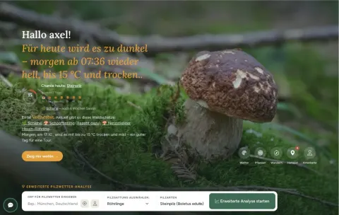
With a free account, your homepage shows you every day, automatically, what's going on where you are: your weather right now, the chance for your favourite mushroom today and over the next 7 days, what's currently growing in your region, and when the next good hiking day is coming. Plus your own area for saved tours, finds and plans.
Example: 🌡️ 2 °C, dry · 🌅 Sunrise 7:05 am · 🍂 Late autumn - plus the 7-day chance, what's growing near you right now, and a tip for the next good hiking day.Tour planner with hiking map and nature know-how
Real hiking trails, not a straight line on a map: tours by duration and difficulty, with elevation profile, parking and GPX export. Routes to your own foraging and herb-gathering spots get found and navigated, with mushroom, plant and weather chances already along the way. Plus a free hiking map to explore on your own.
Plan a tour → Or browse the hiking map freely →Mushrooms, plants and trees
Over 30 mushroom species and more than 50 plants with their own profile - wild herbs, edible fruits, indicator plants and trees, with photos, look-alike warnings and a season calendar. Plus species maps for mushrooms and plants showing where conditions fit right now.
Open the mushroom guide → Discover plants →Blog and recipes
Find reports and nature stories in your own blog, plus recipes by mushroom and season - written by other members or by yourself.
Open the blog → Discover recipes →Aragorn, your AI forest companion
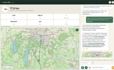
An AI assistant with its own tools and real knowledge of your location: ask it directly where porcini are growing today, which nearby forest has the right tree species, or when the best time to search is - Aragorn works with Waldschatzfinder's real data, not just its training. Currently in testing, rolling out to more members step by step.
More about Aragorn →Waldschatz-Netz
A stream of finds, photos, questions, recipes and tours from other foragers - ask questions and get answers from experienced members, show your own finds, stay in touch. Light like Instagram, not as dense as Facebook.
Open Waldschatz-Netz →
This is what your personal start page looks like
With a free account, the start page shows you every day what’s happening where you are: daylight and rain, the chance for your favourite mushroom today and for the next 7 days, what’s in season and the next good day for a trip.
You add your home place and favourite mushroom to your profile voluntarily – and can change or delete them at any time.
Example: Allgäu, favourite mushroom Porcini Mushroom
Too dark for today – light again tomorrow from 07:15, up to 10 °C, but with rain.
38 % Chance today for Porcini Mushroom
Next 7 days
What is growing near you: Porcini Mushroom 38 %Wood Blewit 15 %Oyster Mushroom 14 %Parasol Mushroom 14 %Bay Bolete 13 %Common chickweedBlackthorn (sloe)
A planner that looks left and right of the path
Most route planners only know the one per cent of the landscape that gets you from A to B: the path. The Waldschatz planner knows the rest too – the forest beside the path, what is growing in it right now, where the light turns beautiful and where a stream is running. Because if you only look straight ahead, you walk past nature. If you look left and right, you start to understand it.
- 🌲 Forest down to the tree species – and when it changes colour
- 🍄 Mushroom chances from weather, soil and forest
- 🌿 Herbs, berries and nuts in season
- ⛰️ Viewpoints, summits, lakes, springs, mountain huts and shelters
- 🌫️ Weather, light, fog and dusk for your day
- 🧭 Real hiking paths, elevation profile, navigation on your phone, GPX and PDF
A complete outdoor tool – from planning at home to navigation in the forest. Plan a tour →
Before your trip
-
Mushroom weather
Growth chance for your location, 10 days ahead – no sign-up needed. -
Pro forecast
With soil, elevation, forest and tree species, for more than 30 species. -
Weather map
Live rain radar, mushroom chance across the map, drought and severe weather warnings. -
Mushroom species map
A real forecast, not a "it rained here" map – shows where your favourite species actually fits right now. -
Mushroom alert & calendar
A message as soon as things get going at your places. -
All of Europe
On holiday too: enter a place or pick a point on the map.
Out and about
-
Way back by GPS
Record your trip and find your way back safely – with distance, elevation gain, calories and GPX export. -
Find markers & diary
Mark finds with a photo – public, or private as a mushroom and plant diary. -
Mushroom AI
Upload a photo and get an assessment of the species and dangerous look-alikes. -
Hotspot map
Where others are finding mushrooms right now – with photos and weather. -
Hiking & walking
Plan your route, pack right, stay safe – for a short stroll or a long tour. -
Mountaineering
Elevation profile, turnaround time, weather and hazards in the mountains.
Plants & nature
-
Wild herbs
Wild garlic, nettle & co. – with their poisonous look-alikes. -
Berries & nuts
What ripens when and how to recognise it safely. -
Indicator plants
Plants that reveal where mushrooms like to grow. -
Plant species map
Where wild herbs, berries and nuts have been found. -
Plant calendar
What grows in forests and meadows each month. -
Nature & fitness
Why exercise in the forest does you good – for body and mind.
Beginners & community
-
Mushrooms for beginners
Beginner traffic light, easy beginner mushrooms, mushroom course and theory test. -
Plants for beginners
Get to know wild herbs, berries and nuts safely. -
Children in the forest
Games, forest rules and safety for families, nurseries and groups. -
Getting started in nature
Mushrooms and plants with the same structure – the starting point for anyone curious. -
Your own blog
Write find reports, follow others, ask questions. -
Recipes
From porcini risotto to chanterelle stir-fry.
Transparent changelog: everything we build, openly documented. →
As a guest: 3 analyses per hour, 6 per day. With a free account everything is unlimited – no subscription, no ads.
Forest treasure network
Outdoors together – with people who love it just as much
In the network you share what you experience outdoors, ask the group when you do not recognise something and find companions with the same interests – mushrooms, plants, nature or hiking. Your exact location always stays private.
Notes: a photo and a few lines from your day out
Ask the group: what mushroom, plant or animal is this?
Find companions – near you or across Europe, only if you want
Latest blog posts
All posts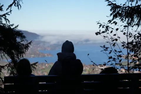
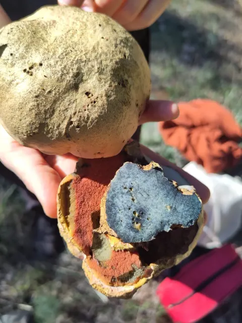
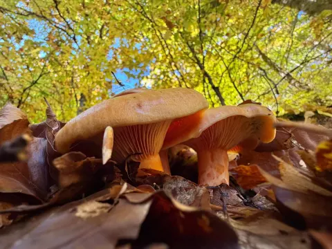
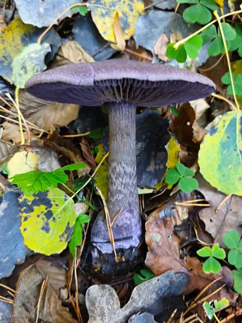
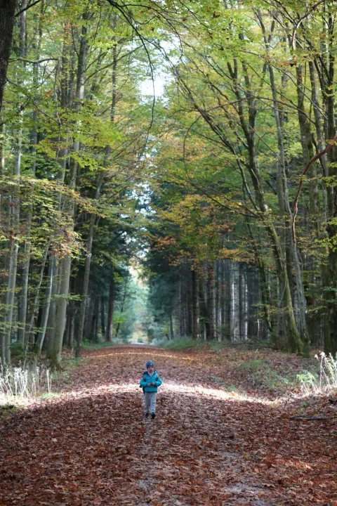
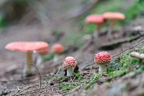











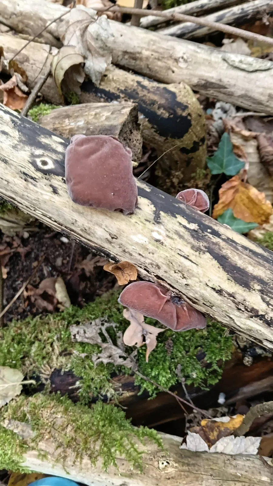
📸 Find of last week
Judas’ Ear
„Judasohr“
The find photo with the most likes this week. The find of a completed week earns 50 points – upload yours, it might be here next week.
Plants of the forest
All plants, look-alikes and indicator plantsNow in autumn: hazelnuts, rose hips and sloes – and the plants that show where mushrooms grow. Identify every plant with certainty before you pick it.

Real weather data
Measured values instead of mere model calculations wherever they exist – for all of Europe.
Soil data
What the ground at your location is like right now – not just the air above it.
Forest and trees
Which forest grows at your location: a birch bolete needs birches, a porcini likes spruce, beech and oak.
Heat and drought
Heat and dry spells, also as separate map layers.
One model for 30+ species
Every species has its own preferences – the model is continuously checked against real finds and fine-tuned.
Maps that think along
Species map and hotspot map with animated weather layers for all of Europe: find new mushroom spots instead of guessing.
- AI yes, black box no AI helps where it is truly strong, such as assessing mushroom photos – but the forecast itself is calculated by a model grown over years, with real weather, soil and forest data.
- People you can reach no anonymous business model, just a small team of mushroom enthusiasts – with names, a legal notice and an open ear, all free and without ads.
- Peace, not pings Waldschatzfinder sends no push notifications, no alert sounds and no newsletter – the world already has plenty of those. The one exception is the mushroom alert, and you only get it if you switch it on yourself. Otherwise Waldschatzfinder leaves you in peace to forage, in the forest and at home.
The whole chain in one tool: from preparation to the kitchen
Other apps show a map or a forecast. Waldschatzfinder accompanies you from the first look at the weather to the plate. As far as our research shows, no other mushroom and nature tool covers this chain from start to finish.
-
Prepare
Forecast for your location and weather layers for rain, soil, heat and dryness.
-
Choose an area
The species map shows where weather, soil and trees suit your species, even in corners you never thought of.
-
In the forest
The hotspot map shows where foragers are out and what they find.
-
Identify
The mushroom AI assesses species and look-alikes from your photo (it does not replace an expert).
-
Report and show
Put your find on the map with place, species and photo, so others see where and when it works.
-
Write
Find reports, tips and stories in your own blog with an editor.
-
Use and cook
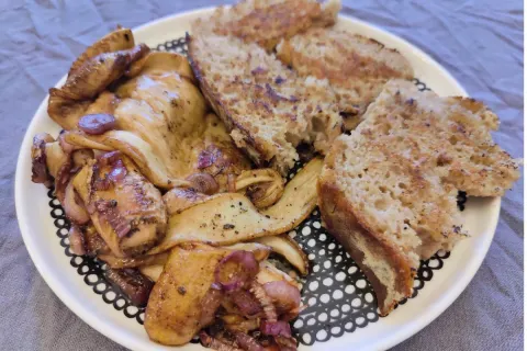
Recipes by mushroom species, from porcini risotto to chanterelle-pear chutney.
Experience, not a quick shot: the model was created about twelve years ago from more than 45 years of mushroom hunting and has been refined ever since with experienced foragers and mycologists. Underneath lies a data foundation that has grown over years – something like that isn't built in a weekend.
We are a guide too, not an oracle – that's why we keep checking our model against real finds. Feel free to compare for yourself; signing up is free.
Frequently asked questions about mushroom hunting and the mushroom forecast
When is the best time to pick mushrooms?
In central Europe the main season runs from July to November; morels and St George's mushrooms already appear in spring. Weather is decisive: warm, humid spells after heavy rain trigger the flushes. The Waldschatzfinder forecast shows you for your spot and over 30 species when conditions fit.
Where can I find porcini and chanterelles?
Porcini grow in symbiosis with spruce, beech, oak and pine; chanterelles prefer mossy coniferous and mixed forests on acidic soils. The species map shows you for your species where weather, soil, forest type and tree species fit right now.
How does the mushroom forecast work?
Waldschatzfinder evaluates the weather of the past weeks and the 10-day forecast and combines it with the site conditions at your location – soil, forest and trees. The result is a growth chance from 0 to 100 percent for each species – a guide, not a promise.
Is Waldschatzfinder free?
Yes. You can use the basic forecast without signing up. With a free account you also get the Pro forecast, species map, mushroom AI, hotspot uploads and your own blog. There is no subscription.
Can I identify mushrooms with my phone?
The mushroom AI gives you hints on the species and on dangerous look-alikes based on photos. It does not replace a mushroom expert: never eat a mushroom just because of an AI identification.
Which mushroom species does the forecast cover?
Over 30 popular edible mushrooms, including porcini, chanterelle, bay bolete, birch bolete, orange birch bolete, parasol, meadow mushroom, morel, cauliflower fungus and wood hedgehog.
Where does the data of the mushroom forecast come from?
We use weather, radar, soil and forest data from public weather services and research institutions across Europe – measured where available, otherwise model data. These are not measurements at your favourite spot. The institutions are listed under “Data sources” in the page footer; how we combine the data is our trade secret.
Where do I find mushroom recipes?
In the recipe section, from porcini risotto to chanterelle pan. Search by your mushroom species – and the mushroom AI shows fitting recipes right with its result.
What sets Waldschatzfinder apart from other mushroom apps and maps?
Waldschatzfinder combines weather, soil, terrain and forest in one calculation – for more than 30 species separately. The model has been developed for about twelve years with experienced foragers and mycologists and is continuously checked against real finds. Maps, mushroom alert, mushroom AI, recipes and community come together in one tool. It is free to use, with no subscription and no ads, and behind it is a small team of foragers with names and a legal notice whom you can contact directly.
Does Waldschatzfinder use artificial intelligence for the mushroom forecast?
Not for the forecast: it is based on a calculation model developed over years and continuously improved. We use AI where it really helps – in the mushroom AI for assessing photos and in Aragorn, your interactive AI forest companion, who navigates you straight to suitable mushroom forests (currently in testing). Still, never eat a mushroom based on an AI identification alone.
Does Waldschatzfinder cover the whole mushroom hunt, from planning to cooking?
Yes. Waldschatzfinder covers the whole chain: forecast and weather layers for preparation, the species map for choosing where to search, the hotspot map in the forest, the mushroom AI for assessing photos, find reports on the map, your own blog for find stories and recipes by species for the kitchen. As far as our research shows, no other mushroom and nature tool covers this chain from start to finish.
Is there a mushroom radar for my region?
Yes. The mushroom forecast is your mushroom radar: enter your location and see how good the chances for mushrooms are today and over the next 10 days. The species map shows the same for all of Germany and more than 30 species, the rain radar shows recent rainfall.
Can I get notified when mushrooms are growing?
Yes, with the mushroom alert: save up to five favourite places, choose a species or the beginner traffic light and the chance from which you want to be told. It is recalculated every morning – you get a notification on the site and, if you like, by email. Free with an account.
How do I recognize poisonous mushrooms?
Reliably, only by knowing individual species and their poisonous look-alikes well – general rules like colour or smell aren't enough. Our beginner section shows the dangerous look-alikes for every beginner species, and the mushroom AI gives a first assessment of your photo. When in doubt: don't eat it, ask a mushroom expert.
When is mushroom season?
The main season runs from August to October, with some species like morels growing as early as spring. The mushroom calendar shows which species peaks in which month – the mushroom forecast tells you whether it's actually worth going out at your location right now.
How do I find mushrooms near me?
Enter your location, and the mushroom forecast calculates directly for that spot. The hotspot map also shows where other foragers near you are active and what they've found; with "My Map" you have all of that open with one click from your home location.
How do I plan a hike with Waldschatzfinder?
With the Waldschatz planer, a free hiking and tour planner: enter a place, date and start time and pick an idea such as a mushroom walk, summit tour or family hike – the route planner works out a hiking route on real trails with elevation profile, walking time and GPX export. It also shows what grows on both sides of the path, when it gets dark and what the weather will be like.
Can I navigate with Waldschatzfinder while out walking?
Yes. Planned tours and marked trails can be walked on your phone with turn-by-turn hints, maps can be saved offline, and the way back by GPS brings you safely home. With a free account you can share your live location with companions if you like.
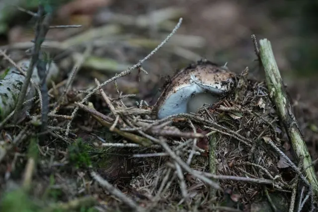
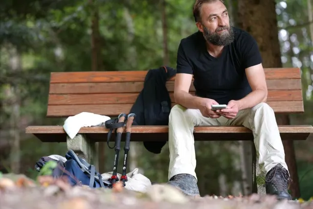
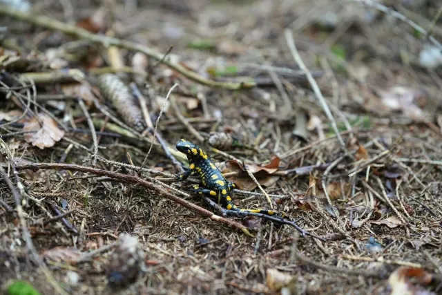
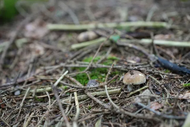
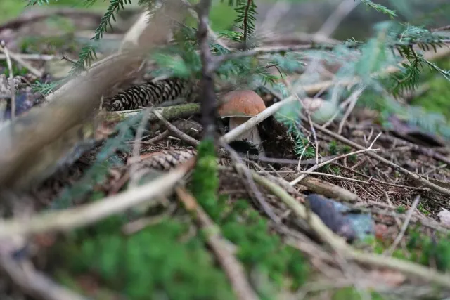
Mushrooms from Monday, 9. November 2026 – Images: © Axel Jerabek
Support the free Waldschatzfinder
Waldschatzfinder guides you through your next hike with real nature knowledge – showing you what actually matters along the way: the best mushroom chances, plants in season, your weather, and when it gets dark. No ads, no tracking through outside SDKs, completely free.
Your donation keeps it that way. Thank you!