
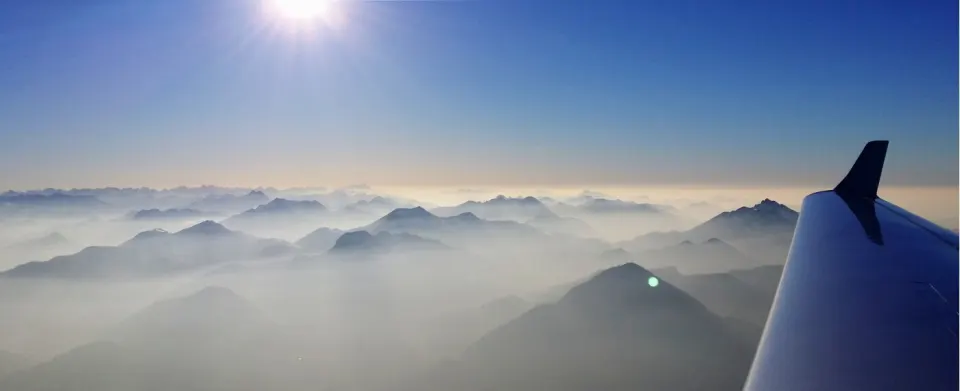
☀️ Fog in the valley · sun on the summit
Above the fog
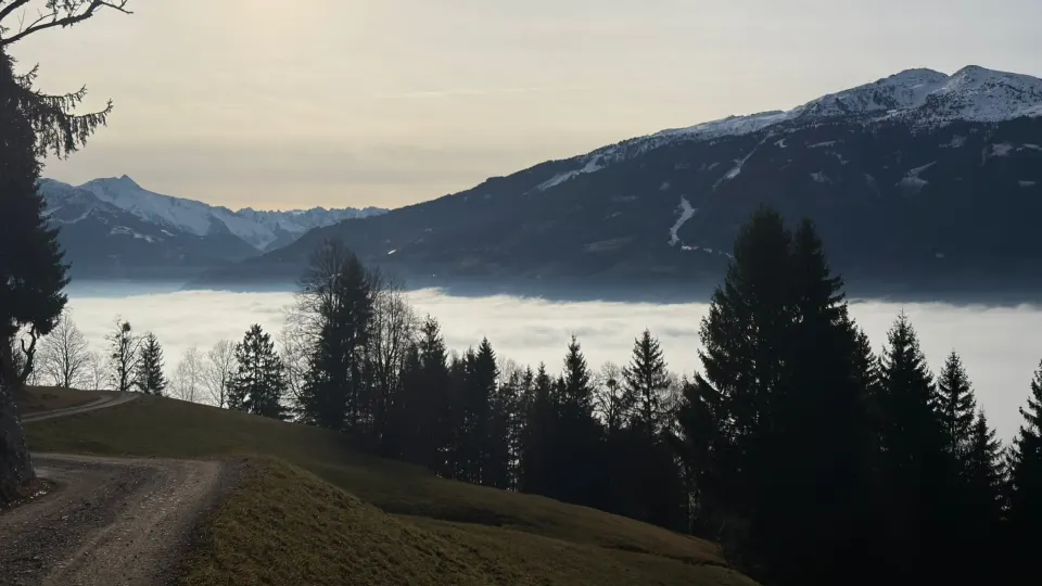
Grey below, blue above: in inversion weather, fog fills the valley while the sun shines a few hundred metres higher. We show you which day it happens near you and which summit rises above the sea of fog.
Plan a tour above the fog free, no account needed
Sea of fog near you
Enter your place above to see for the next three days whether fog fills the valley and which summit rises above it.
Fog can only be forecast roughly – “likely” is not a guarantee.
Forest treasure planner
Your tour above the fog – in one click
- A summit above the fogThe planner picks a nearby summit that rises above the fog top on your day.
- Start at a car parkThe tour begins at a car park at the foot of the summit – with directions.
- Elevation, time, daylightElevation profile, walking time, start at 9 a.m. and back before dusk.
- Share with friendsNot going alone? Send the tour as a link – with map preview.
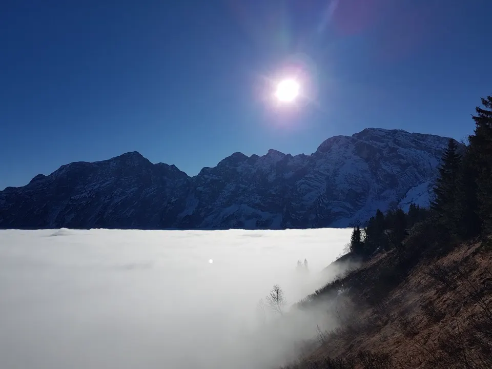
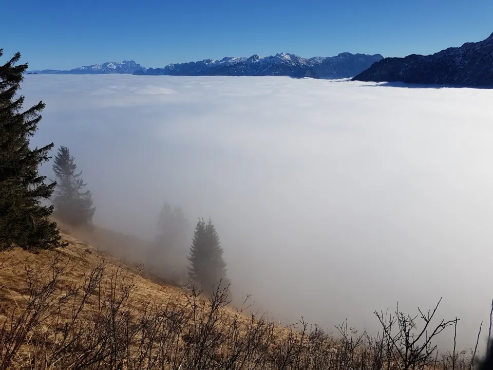
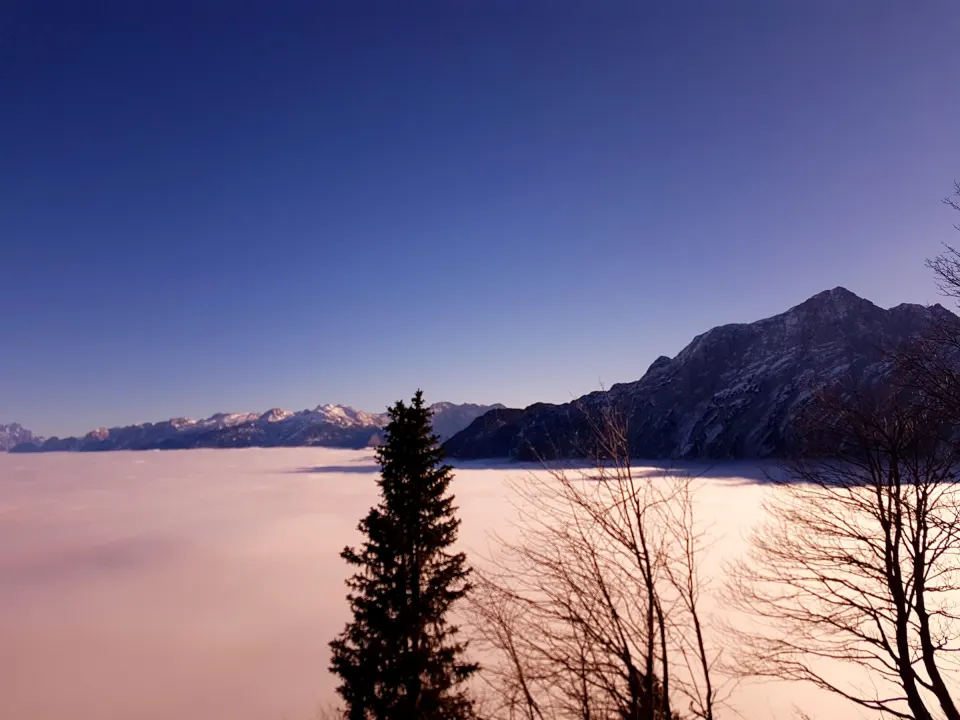
Where a sea of fog is likely in the coming days
As of Oct 31, 19:14 – recalculated every hour.
How to get above the fog
Pick the day
The forecast shows which of the next three mornings has fog in the valley and sun above – and roughly how high the fog reaches.
Pick the summit
We suggest a nearby summit at least 200 m above the fog top, with a start at a car park at its foot.
Start in the morning
The tour starts around 9 a.m., so you break through the fog while it is still there – and get back before dark.
Safety: Our suggestions stay below 1,400 m because we cannot assess snow and avalanche terrain. Check weather, path conditions and daylight before you start, bring a headlamp and turn back if paths are icy.
Frequently asked questions
What is a sea of fog?
During an inversion, cold, moist air lies in the valley with warmer, drier air above. Fog or low stratus forms in the valley while the sun shines above. From a summit above the fog line it looks like a white sea with only the mountains sticking out.
When does inversion weather happen?
Most often from October to February under high pressure: clear, calm nights when the air near the ground cools strongly. Fog can then sit in the valley for days, while at 800 to 1,200 m it is sunny and often warmer than below.
How high do I have to climb?
It depends on the day. Fog often ends between 600 and 1,000 m, sometimes much higher. We estimate the fog top for your place and suggest a summit at least 200 m above it.
How accurate is the forecast?
Fog can only be forecast roughly. We show “likely”, not a guarantee – sometimes the fog clears earlier or sits higher than expected. The forecast is most reliable the evening before and on the morning itself.
Why don’t you suggest higher summits?
In winter there is often snow above about 1,400 m, and we cannot assess avalanche terrain. That is why our suggestions stay below that. If the fog reaches higher, we show no summit.
What should I bring?
Warm layers – it is cold and damp in the valley, often mild on top. Plus sturdy shoes, a headlamp (days are short), something warm to drink and sunglasses. In late autumn paths up top can be icy; microspikes help.
Can I plan the tour without an account?
Yes. The “Above the fog” tour in the forest treasure planner works without an account. With a free account you can also edit it, save it and take it along as GPX or PDF.