
Mapa turystyczna › Seasonal map
Seasonal map: winter
Sledding, cross-country skiing, ice skating and thermal baths – with a live snow check from measured snow depth
Sledding near you: all runs by region with snow check →
In winter the normal hiking map takes a break – this one does not. It shows sledding runs and slopes, cross-country trails, winter hiking routes, ski areas, ice rinks, curling lanes, thermal baths and saunas. For every sledding run you see whether measurements show real snow right now – so you never drive 30 kilometres to stand in slush. Tap a point: weather, darkness, cafés with opening hours and car parks come with it.
✓ Za darmo✓ Snow depth measured live✓ Cafés with opening hours✓ Powrót przed zmrokiem
Zaplanuj trasę i nawiguj: w planerze Waldschatz → Co robię i gdzie?
Co robię i gdzie?
Mapa turystyczna i planer Waldschatz należą do siebie: na mapie wybierasz, dokąd iść – w planerze powstaje z tego twoja trasa, która może też cię prowadzić. Każdy przycisk taki jak „Idź tym szlakiem” czy „Pętla stąd” przenosi cię tam ze wszystkim, co wybrałeś – a przyroda i kondycja pokazuje, co jeszcze jest na stronie.
Jesteś tutaj
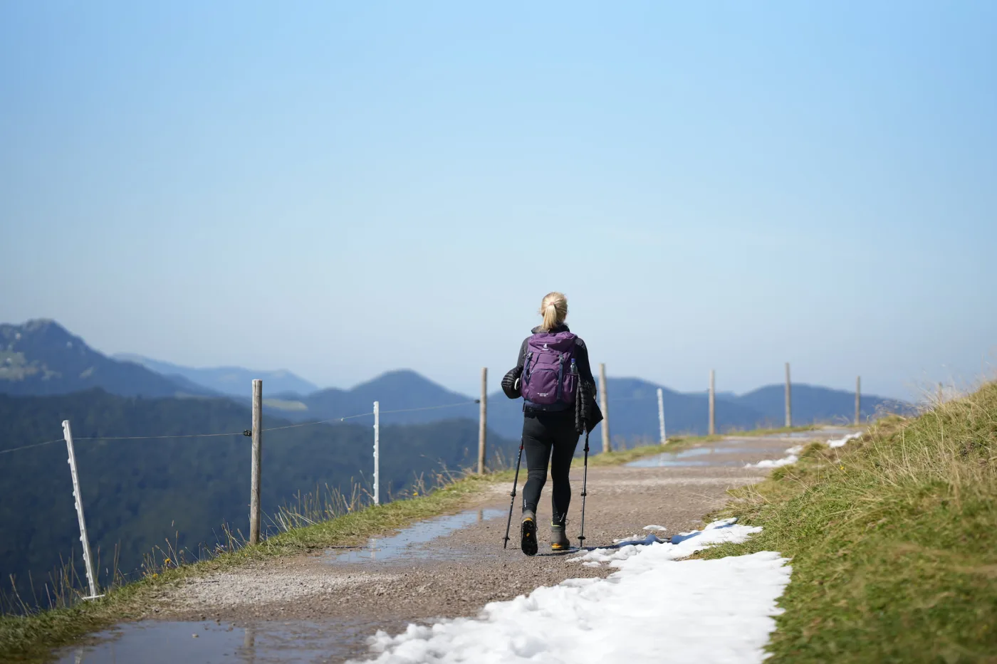
Mapa turystyczna
Odkrywaj i wybieraj
- Wycieczki na dziś w pobliżu – dopasowane do pory, pogody i światła dziennego
- Dotknij znakowanych szlaków: długość, podejście, profil, czas przejścia, stan
- Dotknij dowolnego punktu: pogoda, światło, czas do zmroku, las, dojazd
- Zapisuj i udostępniaj szlaki, zapisz obszar offline, widź swoją pozycję po drodze
- Z kontem: zbieraj szczyty, schroniska i hotspoty grzybowe – planer połączy je w twoją pętlę
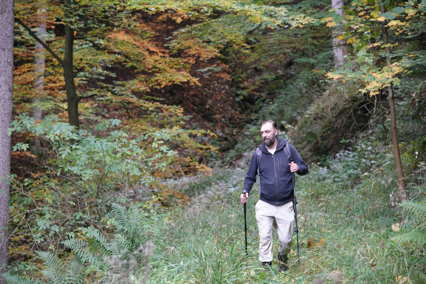
Planer Waldschatz
Planuj, nawiguj, zabieraj ze sobą
- Wyznacz pętlę albo trasę w jedną stronę – lub przejmij szlak z mapy turystycznej
- Dopasuj trasę: przeciągaj punkty, dotknij schroniska, szczytu lub hotspotu grzybowego, aby go dodać
- Pogoda na twój dzień, pasujący las grzybowy, zioła i jagody po drodze
- Nawigacja z komunikatami głosowymi, także bez zasięgu – do tego PDF i GPX
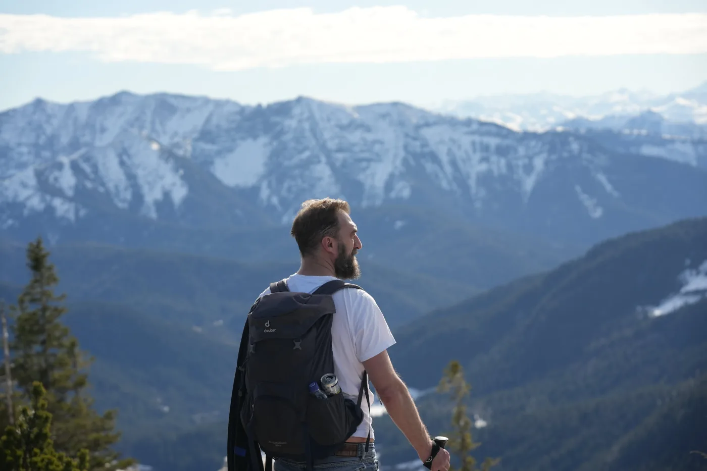
Przyroda i kondycja
Więcej niż grzyby
- Wędrówki i wspinaczka: szczyty, schroniska, via ferraty i punkty widokowe w twoim regionie
- Rejestrator punktu zawrócenia: nagrywa wędrówkę i pokazuje drogę powrotną na start
- Rodziny w przyrodzie: szlaki przyjazne dzieciom, bezpieczeństwo, leśne zabawy i przewodnik wiekowy
- Przetwory z grzybów: suszenie, marynowanie, mrożenie – pożytek z wycieczki także potem
Nie tylko z A do B: planer outdoor, który rozumie przyrodę
Planery tras szukają najkrótszej lub najszybszej drogi. Na zewnątrz liczy się co innego: las, przez który idziesz, światło na szczycie, poranna mgła, grzyby przy ścieżce i czas do zmroku. Właśnie to wie ta mapa – w każdym punkcie, na każdy dzień.
Co tu jest?
Dotknij dowolnego punktu: pogoda na trzy najbliższe dni, wschód i zachód słońca, mgła i szadź, obszary chronione oraz najbliższy szczyt lub schronisko.
Las obok
Z darmowym kontem widzisz w każdym punkcie, ile tam rośnie lasu i jakie gatunki drzew – modrzew, buk, świerk, brzoza i inne.
Pętla stąd
Jedno dotknięcie i planer tworzy pętlę po prawdziwych szlakach – z profilem, czasem przejścia i startem z parkingu.
Nawiguj tutaj
Z miejsca, w którym jesteś, na szczyt, do schroniska lub na punkt widokowy – z nawigacją głosową i mapą offline na miejsca bez zasięgu.
Powrót przed zmrokiem
W wybranym punkcie odliczany jest czas do zmroku – żebyś spokojnie zaplanował powrót. Albo był na górze dokładnie w złotej godzinie.
Pomysły na tę okolicę
Bez wyboru mapa podpowiada, co warto tu teraz zrobić – spacer na punkt widokowy, wycieczkę fotograficzną, grzybobranie – każde z najlepiej pasującym dniem.
Szansa na grzyby po drodze
Z darmowym kontem pokażesz dzisiejszą szansę dla swojego ulubionego grzyba – w powiększeniu aż do pojedynczych płatów lasu.
Dla fotografów
Punkty widokowe, szczyty i jeziora z pogodą do zdjęć. Na wycieczkę fotograficzną od niebieskiej godziny przejdź od razu do planera.
Otwórz planer Wędrówki: porady i bezpieczeństwo Wycieczka fotograficzna
Mapy turystyczne według regionów
Saxon Switzerland Harz Black Forest Allgäu Berchtesgaden Land Garmisch-Partenkirchen & Zugspitze Tegernsee Chiemgau Alps Ammergau Alps Bavarian Forest Franconian Switzerland Fichtel Mountains Thuringian Forest Ore Mountains Rhön Sauerland Eifel Palatinate Forest Swabian Jura Odenwald Taunus Teutoburg Forest Spessart Rügen
Znane szlaki
Malerweg · 116 km Wege deutscher Kaiser und Könige des Mittelalters im Harz · 273 km Mittelweg · 184 km Oberallgäuer Rundwanderweg · 224 km Arnoweg (Kalkberge West) · 168 km Via Romea - Deutschland - Bayern · 518 km Europäischer Fernwanderweg E4 - Teil Deutschland (Region Tegernsee) · 44 km St. Rupert Pilgerweg · 119 km Weitwanderweg Romantische Straße ROT - FÜS · 355 km Europäischer Fernwanderweg E6, Deutschland, Bayerischer Wald · 164 km Fränkischer Marienweg – Ave-Maria-Route · 580 km Fränkischer Gebirgsweg Teil 3 · 74 km Lutherweg Thüringen - Westschlaufe · 341 km Fernwanderweg Zittau – Wernigerode (Sachsen West) · 243 km Der Hochrhöner · 172 km Jakobs-Pilgerweg Paderborn-Köln · 241 km Eifelsteig · 308 km Westpfalz-Wanderweg Schwarzes W (Großer Westpfalz-Wanderweg) · 402 km HW 1 - Schwäbische-Alb-Nordrand-Weg · 359 km Nibelungensteig · 126 km Taunus-Schinderhannespfad · 151 km Jakobs-Pilgerweg Minden-Soest · 146 km Eselsweg · 112 km Europäischer Fernwanderweg E10, Deutschland, Rügen/Vorpommern · 161 km
Najczęstsze pytania
Where can I go sledding today?
On the winter map every sledding run shows whether there is enough snow right now: good to go from about 15 cm, marginal from 5 cm. It is based on the snow depth weather stations nearby measured today. With the planner idea “sledding hill trip” you plan the whole afternoon – car park at the run and hot chocolate afterwards included.
How do you know whether there is snow on the sledding run?
From the snow depth measured every day at weather stations in Germany, Austria and Switzerland. If a lower station has snow, the run above has it too; if a higher station is snow-free, so is the run below. Sunny slopes thaw faster – it can look different on site.
What does the winter map show?
Sledding runs and slopes, cross-country trails, winter hiking and snowshoe routes, ski areas, ice rinks, curling lanes, thermal baths and saunas, plus huts, cafés with opening hours, car parks, webcams and the rain radar. Tap a point for weather, darkness and the way there.
Are the cross-country trails groomed?
We do not know that reliably: the map shows where trails are laid out and the snow depth nearby. Whether they were groomed today is published by the trail operator or the local tourist office.
What about avalanches?
We do not assess avalanche danger. Our winter ideas in the planner deliberately stay below 1,500 m and on paths. Anyone heading off secured pistes and paths should check the avalanche bulletin first.
Is the winter map free?
Yes. Map, snow check, weather and planning work without an account. With a free account you also get navigation, offline map, GPX and webcams.
Dane mapy: © współtwórcy OpenStreetMap, SRTM · Styl mapy: © OpenTopoMap (CC BY-SA). Źródła danych