
Your plan
November 4, 2026
Twilight calculator
Pick at least one activity and a place above, then your plan builds itself here.
Weather
View the weather
Mushroom guide
Open mushroom guideRecord the hike
Start recording
Log in to save plans and find them again later.
Every tool here gives hints, not guarantees. Weather, fitness and your own judgement matter more than any calculator.
Co robię i gdzie?
Mapa turystyczna i planer Waldschatz należą do siebie: na mapie wybierasz, dokąd iść – w planerze powstaje z tego twoja trasa, która może też cię prowadzić. Każdy przycisk taki jak „Idź tym szlakiem” czy „Pętla stąd” przenosi cię tam ze wszystkim, co wybrałeś – a przyroda i kondycja pokazuje, co jeszcze jest na stronie.
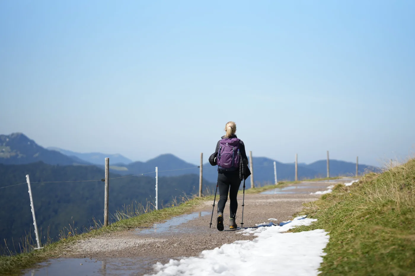
Mapa turystyczna
Odkrywaj i wybieraj
- Wycieczki na dziś w pobliżu – dopasowane do pory, pogody i światła dziennego
- Dotknij znakowanych szlaków: długość, podejście, profil, czas przejścia, stan
- Dotknij dowolnego punktu: pogoda, światło, czas do zmroku, las, dojazd
- Zapisuj i udostępniaj szlaki, zapisz obszar offline, widź swoją pozycję po drodze
- Z kontem: zbieraj szczyty, schroniska i hotspoty grzybowe – planer połączy je w twoją pętlę
Jesteś tutaj
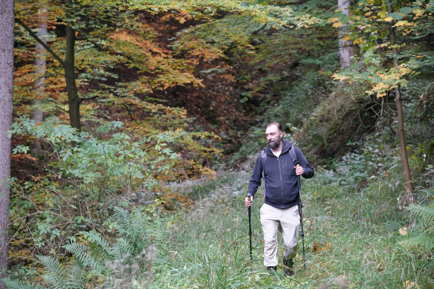
Planer Waldschatz
Planuj, nawiguj, zabieraj ze sobą
- Wyznacz pętlę albo trasę w jedną stronę – lub przejmij szlak z mapy turystycznej
- Dopasuj trasę: przeciągaj punkty, dotknij schroniska, szczytu lub hotspotu grzybowego, aby go dodać
- Pogoda na twój dzień, pasujący las grzybowy, zioła i jagody po drodze
- Nawigacja z komunikatami głosowymi, także bez zasięgu – do tego PDF i GPX
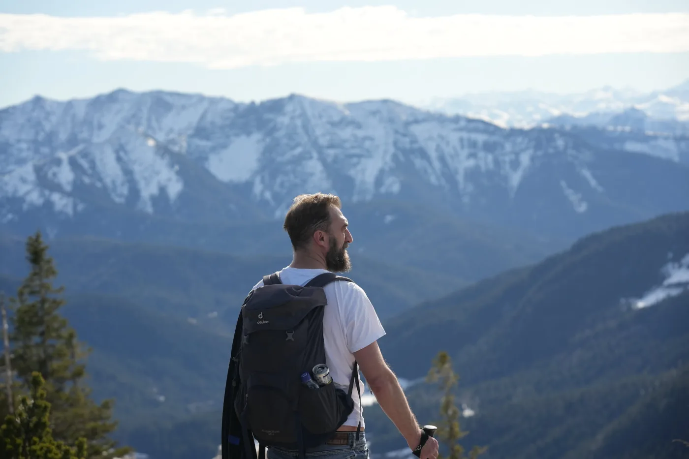
Przyroda i kondycja
Więcej niż grzyby
- Wędrówki i wspinaczka: szczyty, schroniska, via ferraty i punkty widokowe w twoim regionie
- Rejestrator punktu zawrócenia: nagrywa wędrówkę i pokazuje drogę powrotną na start
- Rodziny w przyrodzie: szlaki przyjazne dzieciom, bezpieczeństwo, leśne zabawy i przewodnik wiekowy
- Przetwory z grzybów: suszenie, marynowanie, mrożenie – pożytek z wycieczki także potem
What is a mushroom route planner?
A mushroom route planner plans a hike by where your mushroom can grow – not only by length and paths. The Waldschatz planner knows the host trees of 27 mushroom species such as porcini, chanterelle and bay bolete, leads the route through suitable forest and shows the chance for today and the coming days. Up to three species can be combined; for wild herbs and berries it plans walks to finds of the season. As far as we know, no other route planner has mushrooms, herbs and plants built in.
- 27 mushroom species
- 17 tour ideas
- 3 route types
- 20 km hotspot radius
Last updated: November 1, 2026
Plan a mushroom route or hike in three steps
Choose place and idea
Enter a town and tap a tour idea – for example the best mushroom chance today, a summit cross tour or a hut round with children.
Adjust the route
Set length, difficulty and pace, start in the town centre or at a hiking car park, and add or drag points on the map.
Take it with you
Share the plan as a link – with a free account also as GPX for your phone, as a PDF for printing and saved permanently.
What the plan shows
Real hiking paths
Paths and forest tracks instead of a straight line – coloured by difficulty, steep sections marked.
Voice navigation
Guides you along the route with voice announcements and points out mushroom spots, herb and berry spots, springs, huts and protected areas (free account).
Mushroom forest on the way
Forest with the host trees of your species, with today’s chance and the best day ahead (free account).
Huts, summits, views
Huts, summit crosses, viewpoints and bathing spots as stops on the route.
Start at a car park
A hiking car park near forest as the start, with directions.
Elevation & walking time
Elevation profile, ascent, steepest point and walking time at your pace.
Daylight & safety
Sunset, dusk and a turnaround time for mountain tours.
Frequently asked questions
What is a mushroom route planner?
A mushroom route planner plans a hike by where your mushroom species can grow – not only by length and paths. The Waldschatz planner leads the route through forest with the right host trees, shows how many kilometres suit your species and gives the chance for today and the coming days. As far as we know it is the only route planner with mushrooms, herbs and plants built in.
For which mushrooms does the planner plan a mushroom route?
For 27 species, for example Pieprznik jadalny, Borowik szlachetny, Podgrzybek brunatny, Koźlarz babka, Kolczak obłączasty, Podgrzybek złotopory, Boczniak ostrygowaty, Maślak zwyczajny, Mleczaj rydz, Smardz jadalny, Siedzuń sosnowy, Lejkowiec dęty, Lejkowiec trąbkowy, Podgrzybek zajączek, Gołąbek, Gąsówka fioletowawa, Koralówka żółta, Koźlarz pomarańczowożółty, Modroborowik ponury, Płachetka zwyczajna, Płomiennica zimowa, Trufla, Twardzioszek czosnkowy, Uszak bzowy, Wodnicha marcowa, Łuskwiak zmienny, Żółciak siarkowy. Up to three species can be combined in one route.
What is the forest planner?
A free route planner for days in the forest: it plans a real hiking route on footpaths and forest tracks – through forest that suits your mushroom species, past huts, summits, viewpoints or bathing spots. The plan shows distance, ascent, walking time, the steepest point and an elevation profile.
How do I plan a mushroom trip?
Enter a place, tap the tour idea “Mushroom round” or “Best mushroom chance today” and choose your species (with a free account). The route then leads through forest with the right host trees and shows today’s chance and the best day of the coming week.
Can I change the route?
Yes, with a free account. Tap the map to add a point, drag points to move them, tap a point to remove it. Length, difficulty, pace and route type (loop, out and back, point to point) can be set above the map – the route is recalculated straight away.
Does the route start at a car park?
If you choose “hiking car park”, the planner picks a suitable car park near forest and starts the tour there, with a link for directions. Car parks are shown on the map as blue P signs – tap one to start from there.
Can I open my own GPX route?
Yes, with a free account: “Open GPX” on the map loads a route from another hiking app or your GPS device. The planner shows the mushroom forest, today’s chance, the best day of the week and protected areas along it, and creates the PDF.
May I pick mushrooms in nature reserves?
Usually not: in nature reserves and national parks picking is mostly forbidden, walking on the paths is allowed. The planner places mushroom, herb and berry goals outside these areas, prefers routes around them and names any reserve on the route. The local rules apply.
Can I take the plan with me offline?
With a free account, download the route as GPX for your phone or GPS device, or as a PDF with map, elevation profile and all details for printing. The plan link only remembers this one route – saving it to your account turns it into “my plans”: a list of all your saved tours, ready to find again from any device.
Is the planner free?
Yes. Routes with length, difficulty, car park start, elevation profile and the tour ideas for summits, huts, views and swimming work without an account. With a free account you also get mushroom and herb tours, the photo tour, the mushroom forest on your route, route editing, other suggestions and wishes, GPX, PDF and saved plans.
Is the planner suitable for children?
Choose “With children” or the tour idea “Kids’ hut round”: the route stays on easy paths, visits up to three huts and adds forest games for the way.
How reliable is the information?
Everything is a guide, not a guarantee: paths, weather and conditions on site can differ. Only collect mushrooms you know for certain. Our sources and licences are listed on the sources page.