
Your plan
November 4, 2026
Twilight calculator
Pick at least one activity and a place above, then your plan builds itself here.
Weather
View the weather
Mushroom guide
Open mushroom guideRecord the hike
Start recording
Log in to save plans and find them again later.
Every tool here gives hints, not guarantees. Weather, fitness and your own judgement matter more than any calculator.
Co dělám a kde?
Turistická mapa a plánovač Waldschatz patří k sobě: na mapě vyberete, kam jít – v plánovači se z toho stane vaše trasa, která vás může i vést. Každé tlačítko jako „Jít po této stezce“ nebo „Okruh odsud“ vás tam přenese se vším, co jste vybrali – a příroda a kondice ukazuje, co dalšího web nabízí.
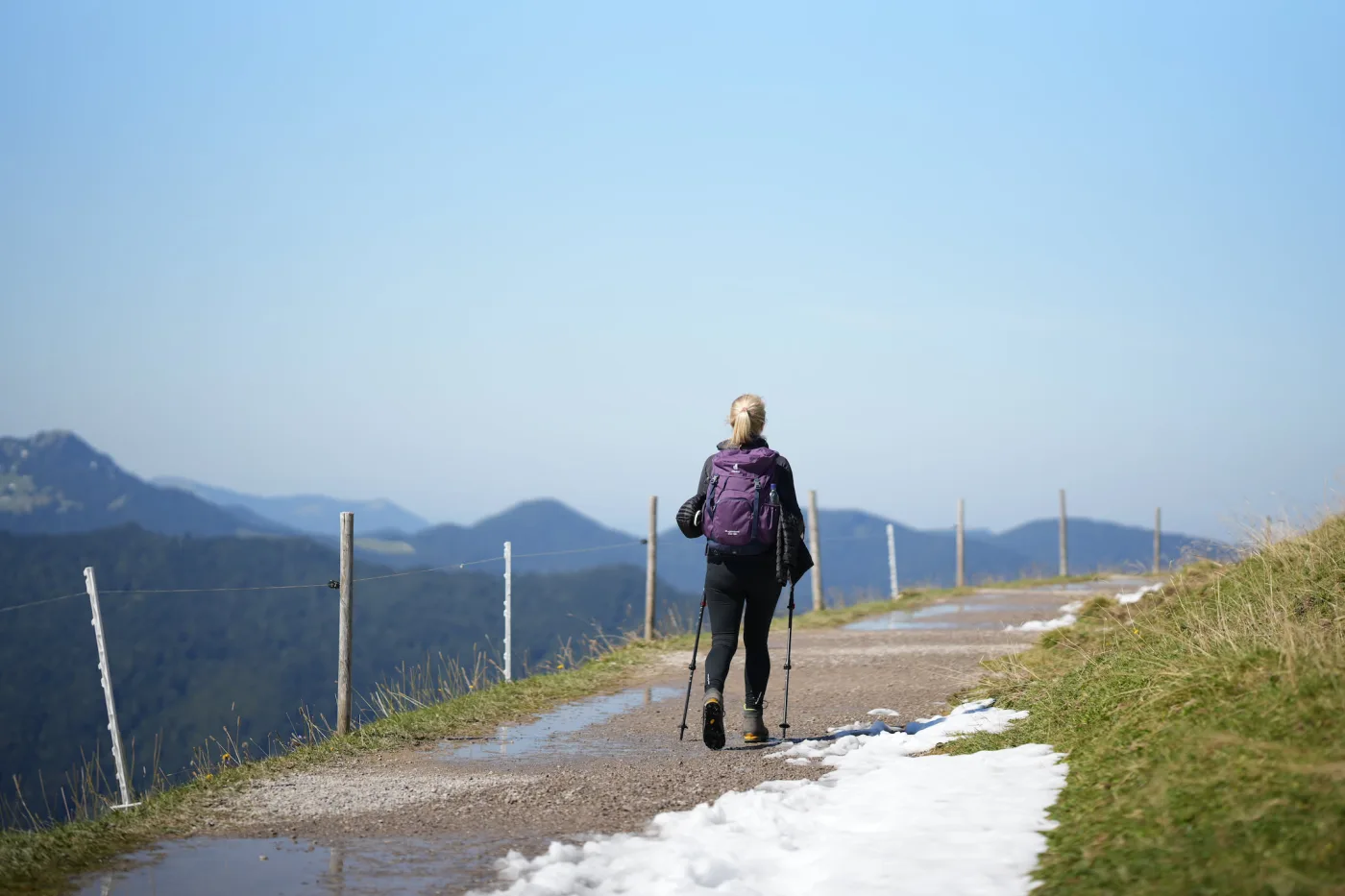
Turistická mapa
Objevovat a vybírat
- Výlety na dnešek ve vašem okolí – podle času, počasí a denního světla
- Klepněte na značené stezky: délka, stoupání, profil, doba chůze, stav
- Klepněte na libovolný bod: počasí, světlo, čas do tmy, les, doprava
- Ukládejte a sdílejte stezky, uložte oblast offline, sledujte svou polohu po cestě
- S účtem: sbírejte vrcholy, chaty a houbové hotspoty – plánovač je spojí do vašeho okruhu
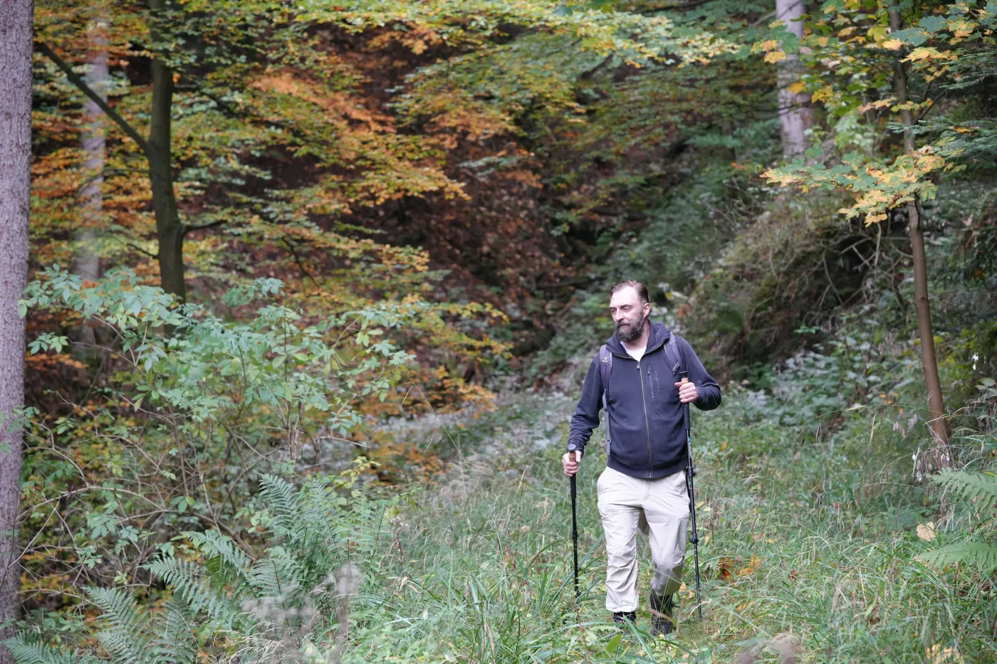
Jste tady
Plánovač Waldschatz
Plánovat, navigovat, vzít s sebou
- Vypočítejte okruh nebo trasu jedním směrem – nebo převezměte stezku z turistické mapy
- Upravte trasu: přetahujte body, klepněte na chatu, vrchol nebo houbový hotspot a přidejte ho
- Počasí na váš den, vhodný houbový les, byliny a bobule po cestě
- Navigujte s hlasovými pokyny, i bez signálu – navíc PDF a GPX
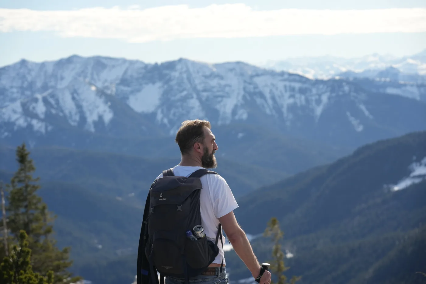
Příroda a kondice
Víc než houby
- Turistika a horolezectví: vrcholy, chaty, via ferraty a vyhlídky ve vašem regionu
- Záznamník bodu obratu: zaznamená vaši túru a ukáže cestu zpět na start
- Rodiny v přírodě: stezky vhodné pro děti, bezpečnost, lesní hry a věkový průvodce
- Konzervování hub: sušení, nakládání, mražení – využít výlet i potom
What is a mushroom route planner?
A mushroom route planner plans a hike by where your mushroom can grow – not only by length and paths. The Waldschatz planner knows the host trees of 27 mushroom species such as porcini, chanterelle and bay bolete, leads the route through suitable forest and shows the chance for today and the coming days. Up to three species can be combined; for wild herbs and berries it plans walks to finds of the season. As far as we know, no other route planner has mushrooms, herbs and plants built in.
- 27 mushroom species
- 17 tour ideas
- 3 route types
- 20 km hotspot radius
Last updated: November 1, 2026
Plan a mushroom route or hike in three steps
Choose place and idea
Enter a town and tap a tour idea – for example the best mushroom chance today, a summit cross tour or a hut round with children.
Adjust the route
Set length, difficulty and pace, start in the town centre or at a hiking car park, and add or drag points on the map.
Take it with you
Share the plan as a link – with a free account also as GPX for your phone, as a PDF for printing and saved permanently.
What the plan shows
Real hiking paths
Paths and forest tracks instead of a straight line – coloured by difficulty, steep sections marked.
Voice navigation
Guides you along the route with voice announcements and points out mushroom spots, herb and berry spots, springs, huts and protected areas (free account).
Mushroom forest on the way
Forest with the host trees of your species, with today’s chance and the best day ahead (free account).
Huts, summits, views
Huts, summit crosses, viewpoints and bathing spots as stops on the route.
Start at a car park
A hiking car park near forest as the start, with directions.
Elevation & walking time
Elevation profile, ascent, steepest point and walking time at your pace.
Daylight & safety
Sunset, dusk and a turnaround time for mountain tours.
Frequently asked questions
What is a mushroom route planner?
A mushroom route planner plans a hike by where your mushroom species can grow – not only by length and paths. The Waldschatz planner leads the route through forest with the right host trees, shows how many kilometres suit your species and gives the chance for today and the coming days. As far as we know it is the only route planner with mushrooms, herbs and plants built in.
For which mushrooms does the planner plan a mushroom route?
For 27 species, for example Liška obecná, Hřib smrkový, Hřib hnědý, Kozák březový, Lišák zprohýbaný, Hřib žlutomasý, Hlíva ústřičná, Klouzek obecný, Ryzec pravý, Smrž obecný, Kotrč kadeřavý, Stroček trubkovitý, Liška nálevkovitá, Hřib plstnatý, Holubinka, Hřib koloděj, Kuřátka žlutá, Křemenáč březový, Lanýž, Opeňka měnlivá, Penízovka sametonohá, Sluka svraskalá, Sírovec žlutooranžový, Ucho Jidášovo, Čirůvka fialová, Špička cibulová, Šťavnatka březnovka. Up to three species can be combined in one route.
What is the forest planner?
A free route planner for days in the forest: it plans a real hiking route on footpaths and forest tracks – through forest that suits your mushroom species, past huts, summits, viewpoints or bathing spots. The plan shows distance, ascent, walking time, the steepest point and an elevation profile.
How do I plan a mushroom trip?
Enter a place, tap the tour idea “Mushroom round” or “Best mushroom chance today” and choose your species (with a free account). The route then leads through forest with the right host trees and shows today’s chance and the best day of the coming week.
Can I change the route?
Yes, with a free account. Tap the map to add a point, drag points to move them, tap a point to remove it. Length, difficulty, pace and route type (loop, out and back, point to point) can be set above the map – the route is recalculated straight away.
Does the route start at a car park?
If you choose “hiking car park”, the planner picks a suitable car park near forest and starts the tour there, with a link for directions. Car parks are shown on the map as blue P signs – tap one to start from there.
Can I open my own GPX route?
Yes, with a free account: “Open GPX” on the map loads a route from another hiking app or your GPS device. The planner shows the mushroom forest, today’s chance, the best day of the week and protected areas along it, and creates the PDF.
May I pick mushrooms in nature reserves?
Usually not: in nature reserves and national parks picking is mostly forbidden, walking on the paths is allowed. The planner places mushroom, herb and berry goals outside these areas, prefers routes around them and names any reserve on the route. The local rules apply.
Can I take the plan with me offline?
With a free account, download the route as GPX for your phone or GPS device, or as a PDF with map, elevation profile and all details for printing. The plan link only remembers this one route – saving it to your account turns it into “my plans”: a list of all your saved tours, ready to find again from any device.
Is the planner free?
Yes. Routes with length, difficulty, car park start, elevation profile and the tour ideas for summits, huts, views and swimming work without an account. With a free account you also get mushroom and herb tours, the photo tour, the mushroom forest on your route, route editing, other suggestions and wishes, GPX, PDF and saved plans.
Is the planner suitable for children?
Choose “With children” or the tour idea “Kids’ hut round”: the route stays on easy paths, visits up to three huts and adds forest games for the way.
How reliable is the information?
Everything is a guide, not a guarantee: paths, weather and conditions on site can differ. Only collect mushrooms you know for certain. Our sources and licences are listed on the sources page.